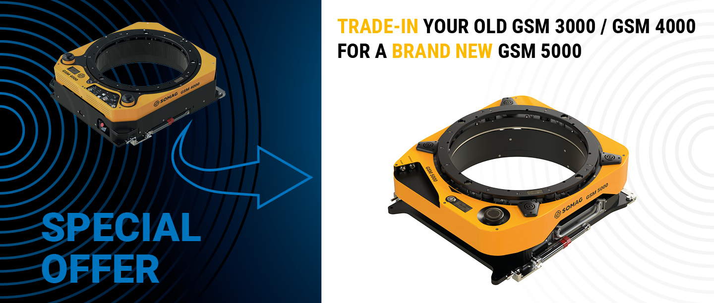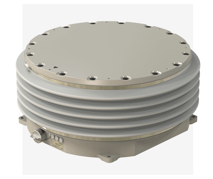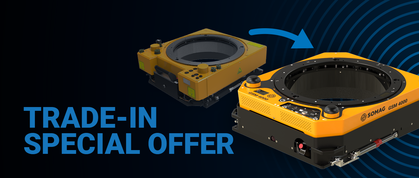
Save more than €5,000 and level up your GSM 4000
For a short time only, every purchase of a GSM 4000 comes with a free feature package valued at over €5,000! This exclusive package includes Collision Avoidance and an AUX Port—at no additional cost. But be careful: The offer is only valid for GSM 4000 purchase orders until January 31, 2026 or while supplies last.
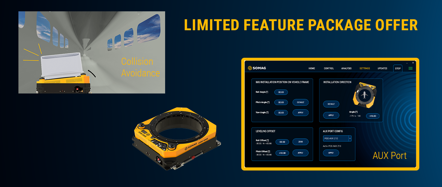
Why you can profit from Collision Avoidance
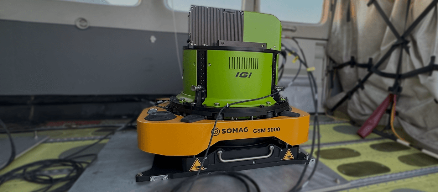
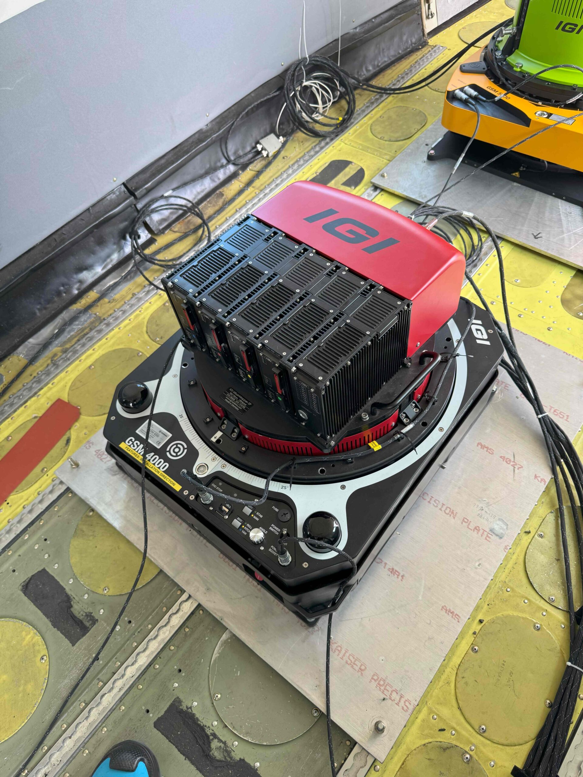
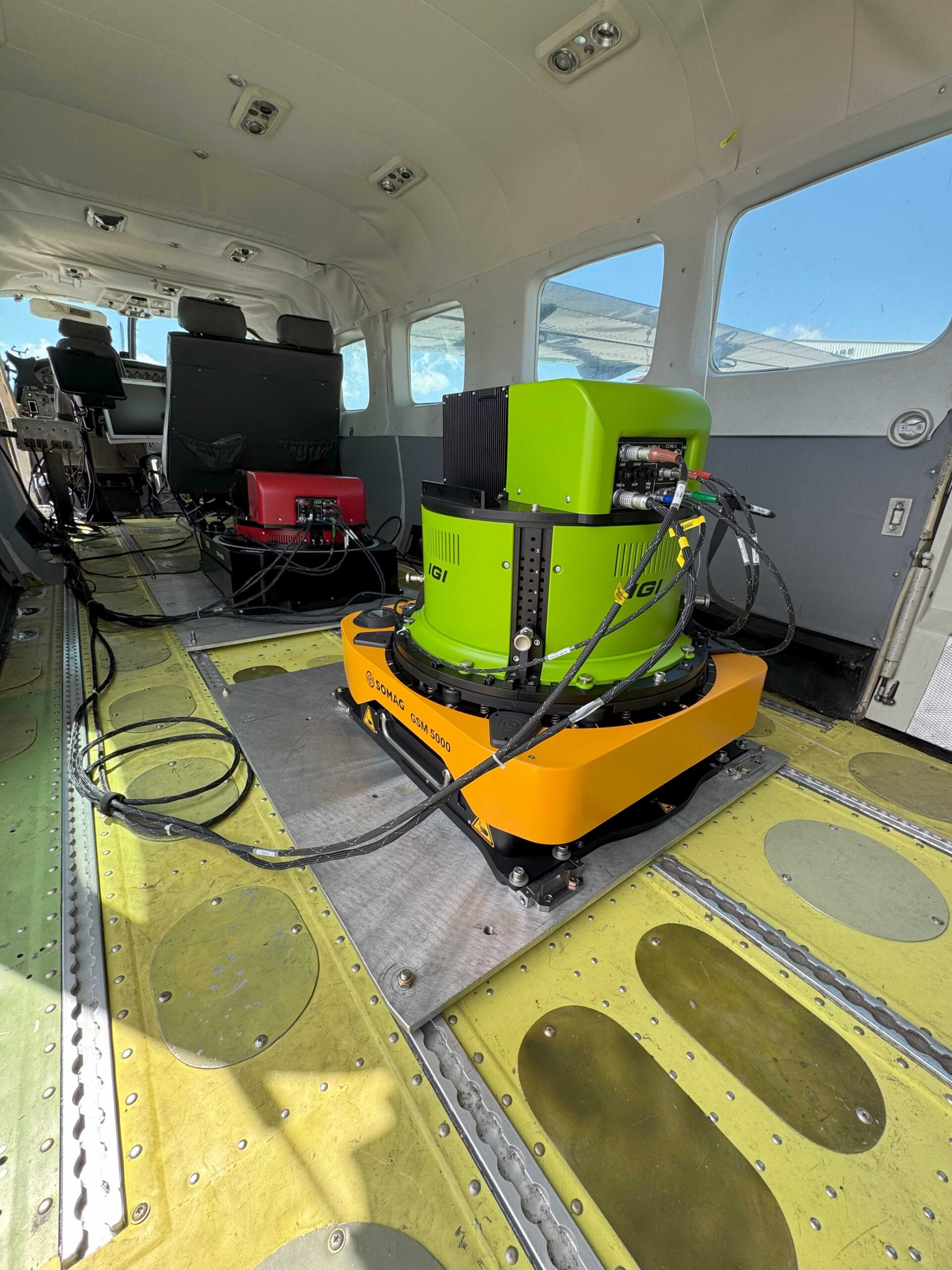
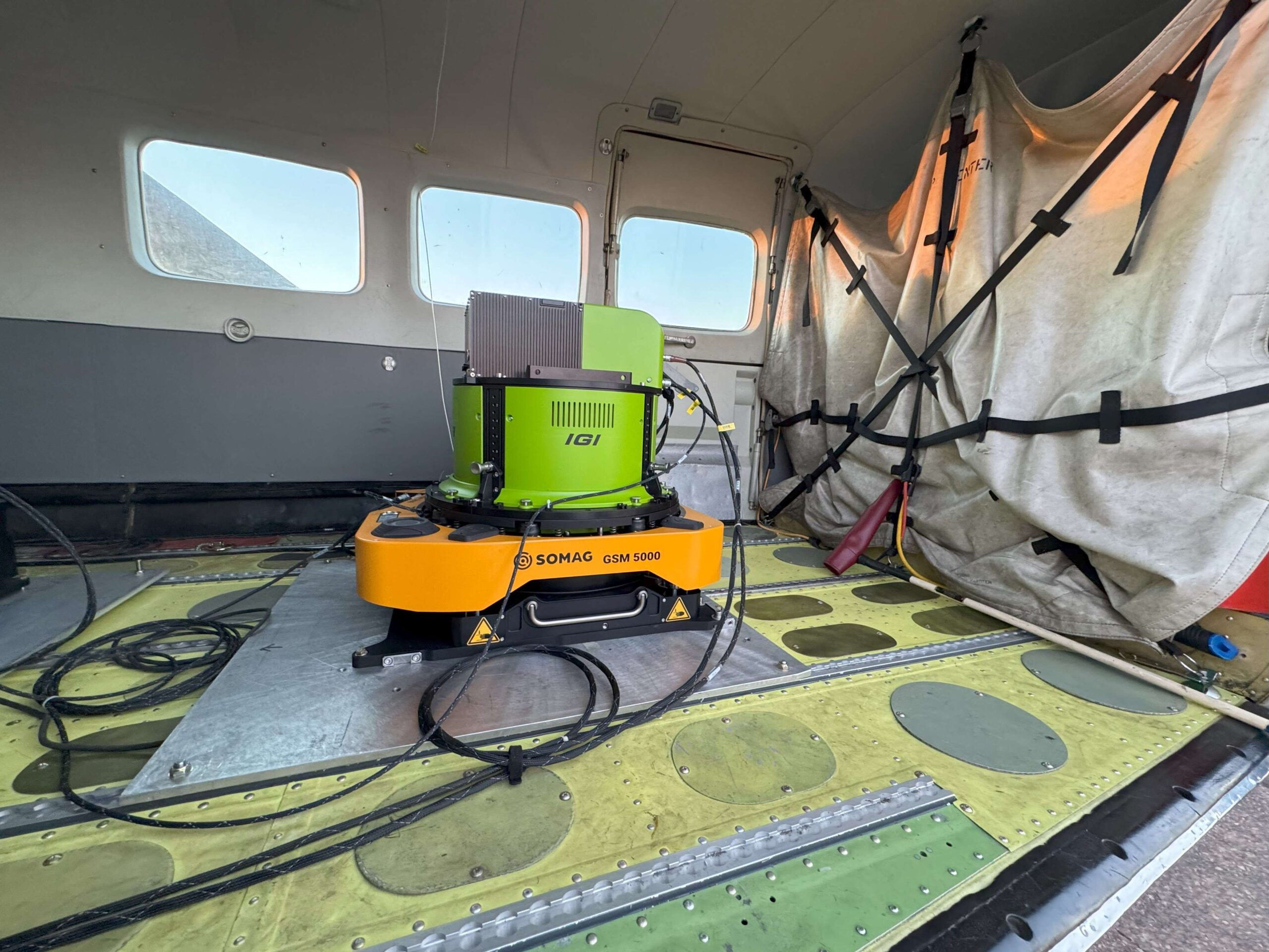
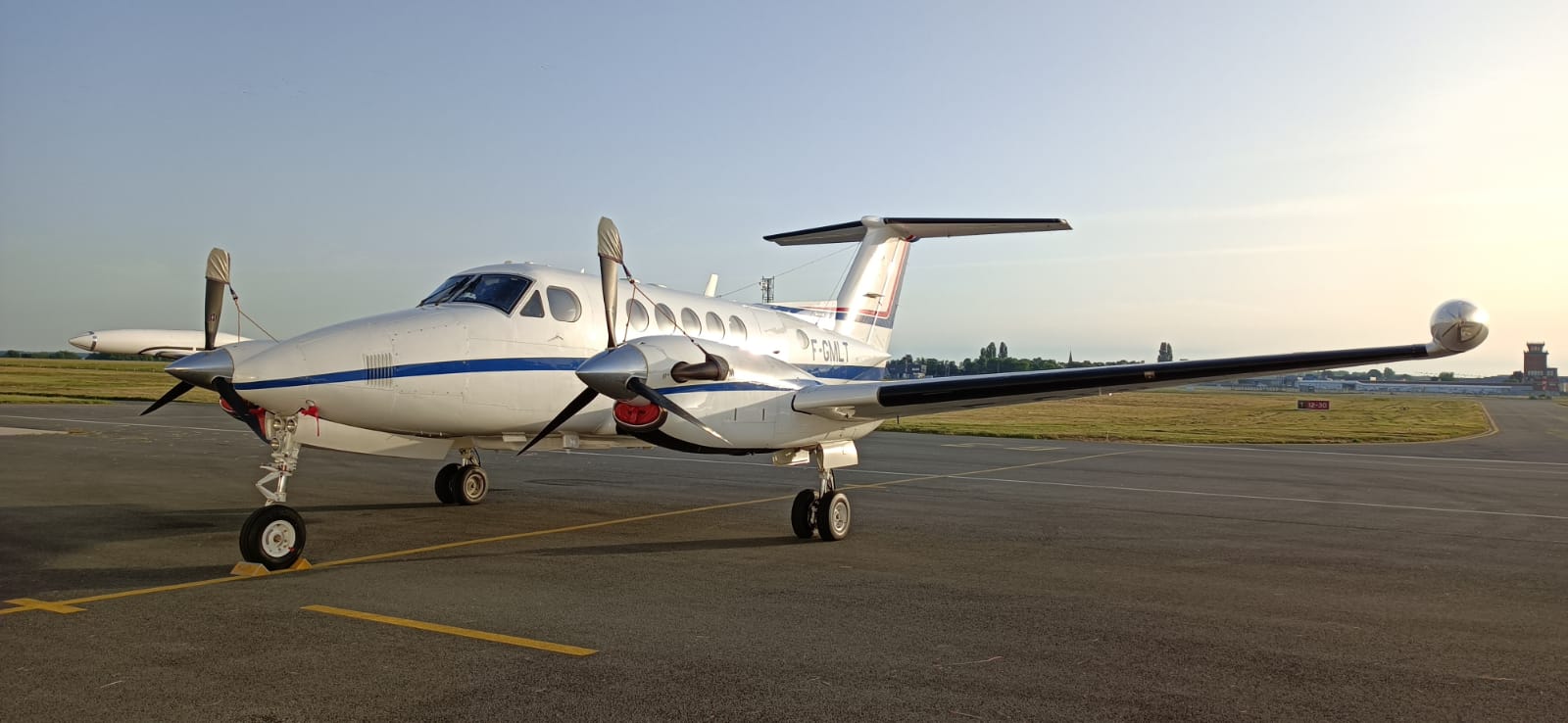
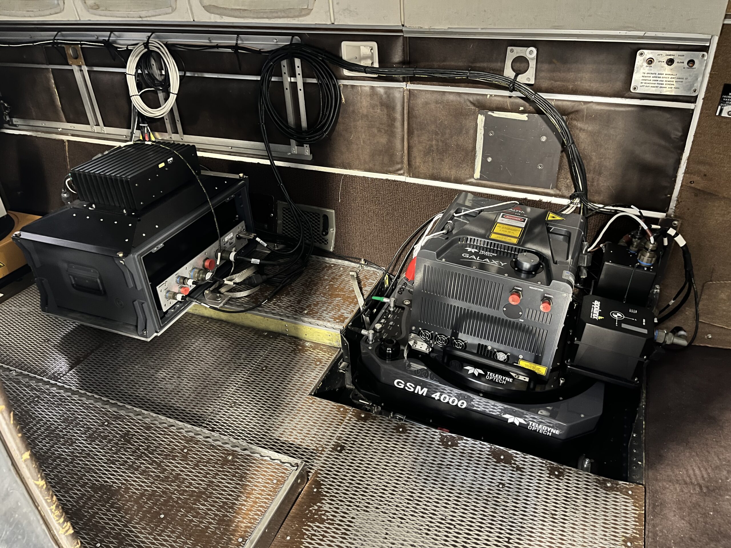
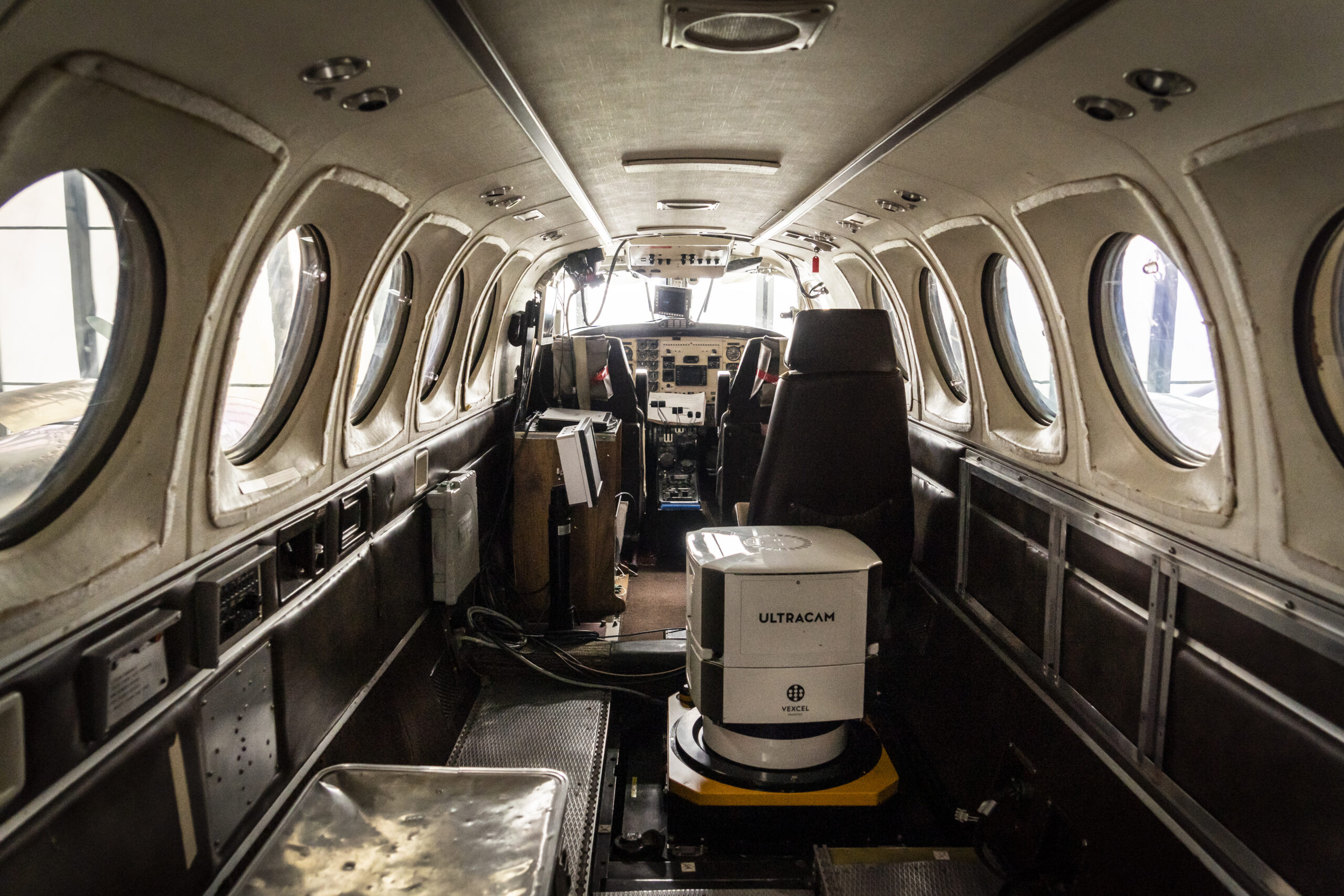
If the Mount and the sensor is installed close to the board wall inside an aircraft or if the hatch in the fuselage is narrow, the sensor system may collide with an obstacle. The Collision Avoidance feature prevents a collision of the Mount and/or the sensor system with surrounding obstacles during Mount initialization or operation. Just to name a few features:
- Limiting the physical movement range of the Mount in all three space axes with the End Stop Limits settings
- Selecting the side on which the Mount pumps to working height during the initialization phase, to prevent the sensor system hitting an obstacle
Why do I need an AUX Port?
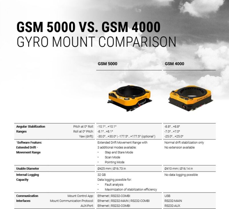
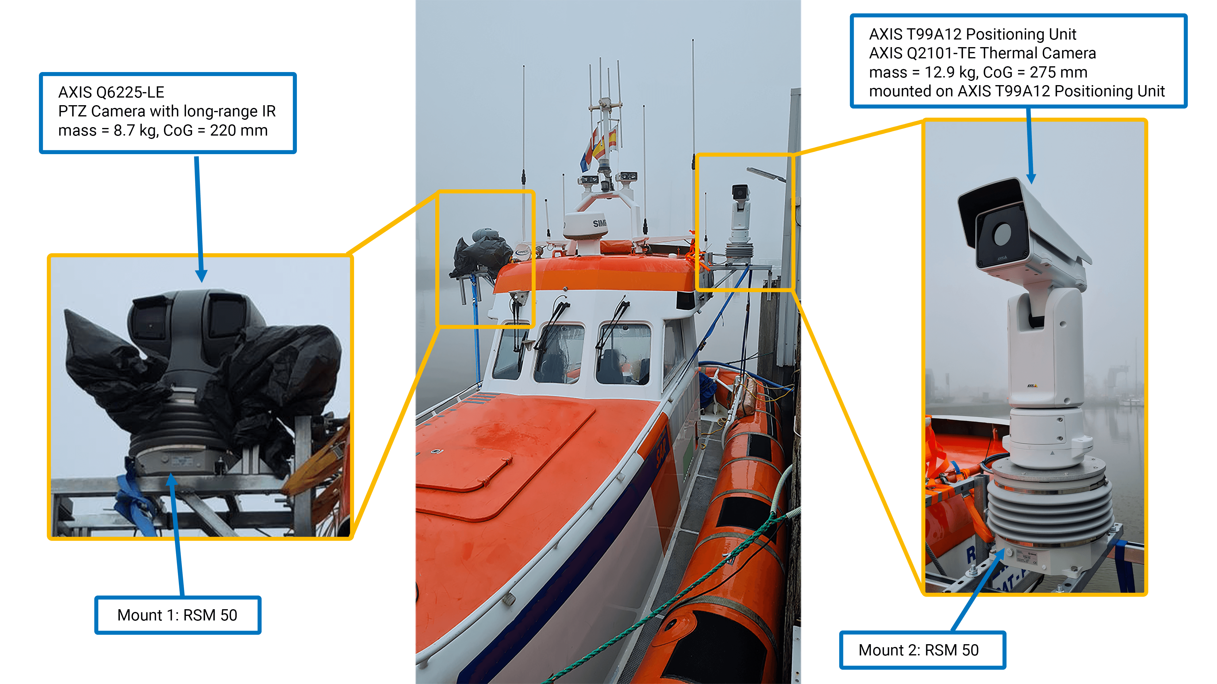
The AUX Port interface allows you to connect an IMU directly with the Mount. The connected IMU can be easily selected and activated in the SOMAG Mount Control App. This special feature is useful if there is no FMS in the aircraft. With the AUX Port the IMU data can be read directly into the Mount. In maritime applications where a FMS is not used, such as on buoys or ships, the Feature is profitable, as external IMU data improves the residual deviation performance of the Mounts for long term applications.
For further information please do not hesitate to contact our sales team. They will be more than happy to help you!
Sales and Support
Sören Lieske
Sales Manager
Phone: +49 3641 633 68 18
E-Mail: s.lieske@somag-ag.de
Let’s connect on LinkedIn

Jana Franck
Sales Coordinator
Phone: +49 3641 633 68 15
E-Mail: j.franck@somag-ag.de
Let’s connect on LinkedIn
Subscribe today!
Keep yourself informed about SOMAG and the latest Gyro Mount technology.
We will send you regular information about:
- exhibitions and event invitations
- new products, services and videos
- latest application examples, projects and partnerships