SOMAG launches Gyro Stabilization Mount GSM 5000

-- archive.php --

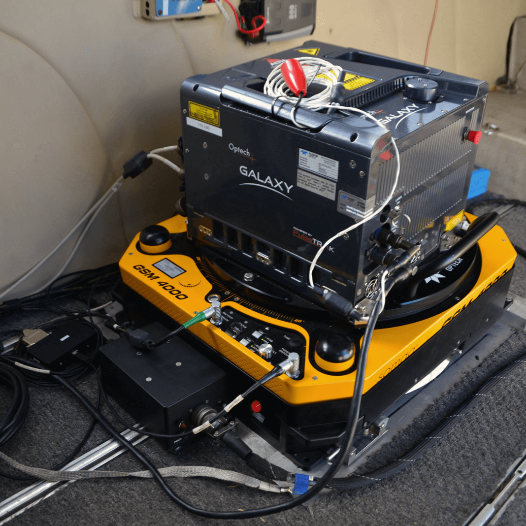
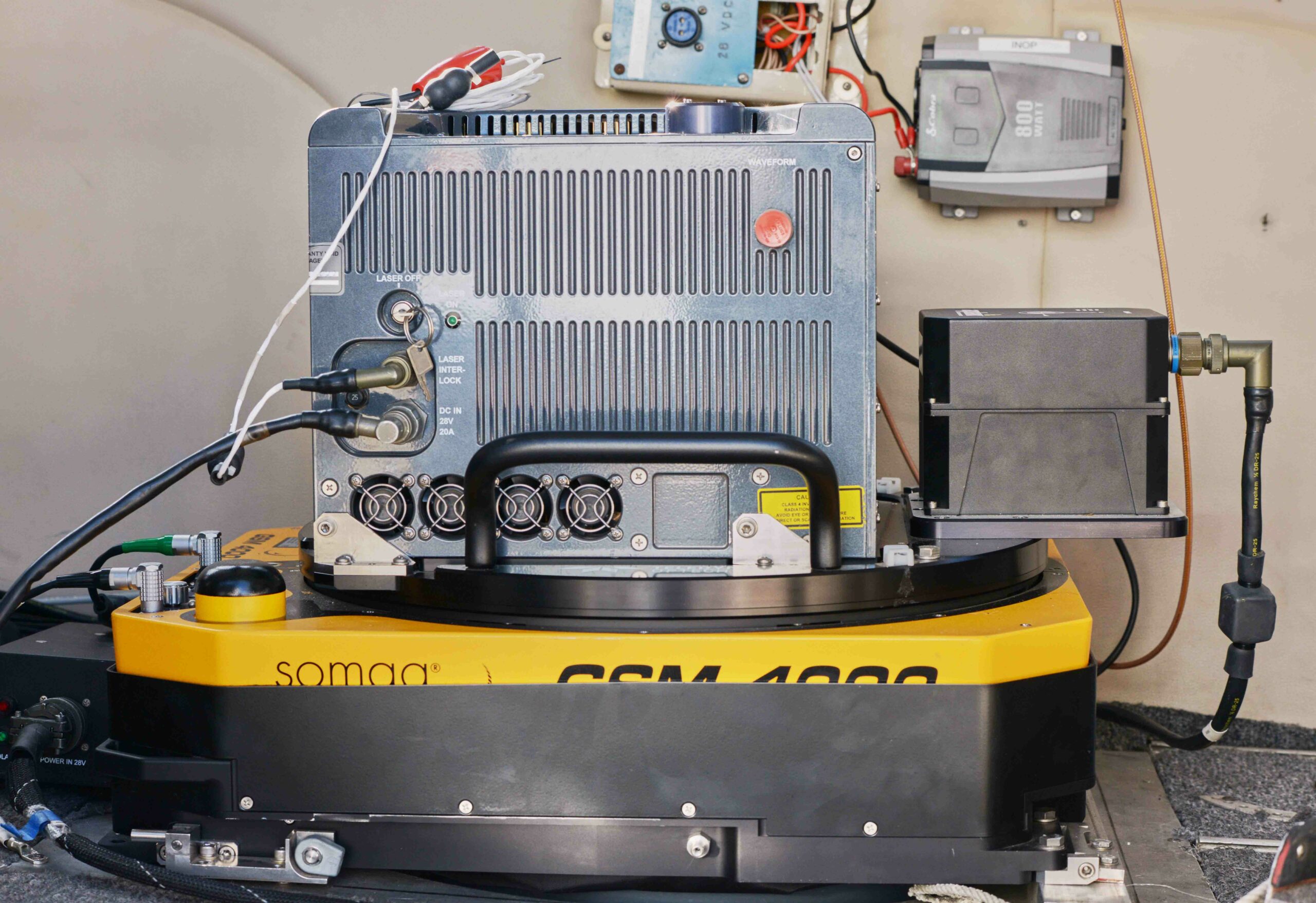
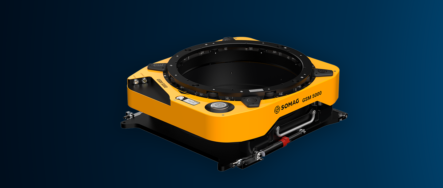
SOMAG AG Jena, a global leader in gyro stabilization technology, is excited to announce the official launch of the GSM 5000, live from Intergeo 2024. As the successor to the globally recognized GSM 4000, the GSM 5000 sets a new standard for aerial gyro stabilization mounts, offering unparalleled precision and stability for a wide range of airborne data acquisition applications.

Building on the solid foundation of its predecessor, the GSM 5000 is designed to enhance the effectiveness of critical airborne missions, including terrain mapping, disaster management, agriculture, forestry, and urban planning. With the GSM 5000, users can achieve flawless image and data capture, even in the most challenging flight conditions, thanks to its superior ability to counteract aircraft movements and vibrations.

Key Features of the GSM 5000:

Expanded Motion Range: The GSM 5000 delivers superior stabilization compared to its predecessor with increased pitch, roll, and yaw capabilities.

355° Absolute Drift Movement: The nearly 100% complete rotational range along the drift axis ensures comprehensive data collection and offers three unique modes available on the market: Step and Stare, Scan, and Pointing Mode.

Increased Usable Diameter: The expansion of the internal diameter ensures a better accommodation of larger sensor systems.

Enhanced Communication Interfaces: The GSM 5000 introduces flexible Ethernet and RS232-COMBI interfaces, simplifying connectivity and improving data transmission speeds.

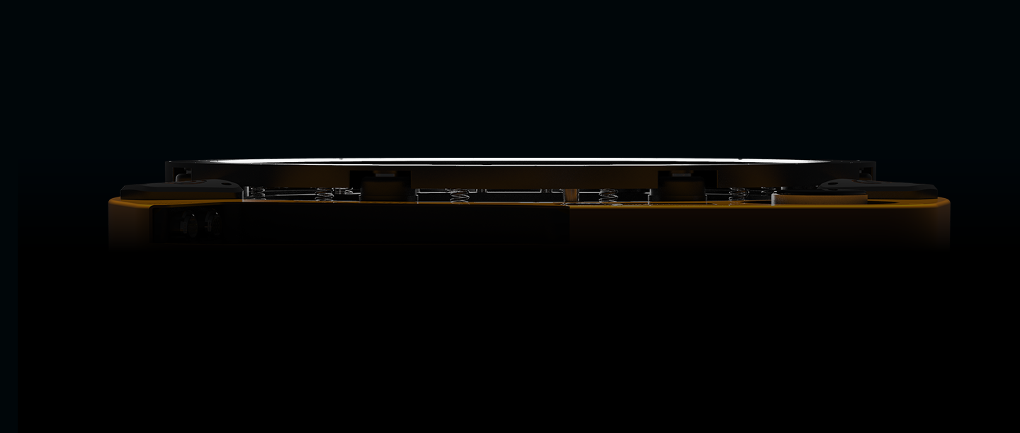
Additionally, the GSM 5000 offers SD-card logging for easy data recording and transfer, along with comprehensive error logging to quickly diagnose and resolve issues. Its optimized pivot point, now located at the base plate, minimizes sensor displacement during rotation, enhancing the field of view and reducing collision risks. The mount also features automated hydraulic working height adjustments via software, removing the need for manual intervention. The redesigned digital interface and touch encoder streamlines control. High points such as motor cover caps and vertical cable routing, which limited the sensor’s movement range in the GSM 4000, have been removed to ensure maximum freedom of sensor movement.

Backward Compatibility: The GSM 5000 retains compatibility with the GSM 4000’s power and interface cables, simplifying upgrades and ensuring a seamless transition for current users.

“We are incredibly proud to introduce the GSM 5000 live at INTERGEO 2024,” said Sebastian Schreiber, CTO of SOMAG AG Jena. “This launch underscores our commitment to innovation and our dedication to helping our customers achieve high-quality data in a sustainable and economical way with our stabilization devices and technologies. The GSM 5000 not only builds on the robust legacy of the GSM 4000, but also introduces a whole range of new features and improvements that set a new industry standard.”

Order GSM 5000 Now: The device can now be ordered. The first deliveries are scheduled for spring 2025. Further information can be found on the GSM 5000 product page. For additional questions and pricing, please contact the SOMAG sales team.

About SOMAG AG Jena
SOMAG AG Jena is a leading provider of advanced gyro stabilization technology for airborne, marine, and terrestrial applications. Based in Jena, Germany, SOMAG AG Jena has a long-standing reputation for delivering high-quality, reliable stabilization solutions that meet the diverse needs of industries worldwide.

Newsletter

Subsrcibe today!

Keep yourself informed about SOMAG and the latest Gyro Mount technology.
We will send you regular information about:

  • exhibitions and event invitations
  • new products, services and videos
  • latest application examples, projects and partnerships
Subscribe here

Subscribe to the SOMAG newsletter
The Future of Airborne Gyro Stabilization Mounts Unveiled

Join SOMAG for the Upcoming Launch of the GSM 5000

SOMAG AG Jena is thrilled to announce the launch of the GSM 5000, the successor to the globally recognized GSM 4000, the flagship of SOMAG’s Gyro Stabilization Mounts for airborne data acquisition.

The official unveiling will take place at Intergeo 2024, held at Messe Stuttgart, Germany, on September 24, 2024, at 4 p.m at booth G1.002 in hall 1. The GSM 5000 sets a new benchmark in gyro stabilization, delivering unparalleled precision and stability for airborne applications, ranging from terrain mapping and disaster management to agriculture, forestry, and urban planning. Engineered for the highest compatibility with all modern sensors, LiDARs and cameras, it ensures flawless image and data capture.

Join Us for the Grand Reveal!    
We cordially invite industry professionals, partners, and media representatives to experience the future of stabilization technology firsthand. Visit us at booth G1.002 at Intergeo 2024 to witness the GSM 5000 in action and to discuss both the technical and economic aspects of the new unit with our team.
Don’t miss this opportunity to elevate your operations with the latest innovation in Gyro Stabilization – We look forward to welcoming you at our booth!

Curious about the new device? Get an exclusive first look in our teaser video!

GSM 5000 Teaser Video

    Get Exclusive Updates on the New GSM 5000

    To be the first to receive information about all the latest features and technical specifications of the GSM 5000 after its official launch, simply fill out the form below. We’ll send you all the details straight to your inbox.


    Please solve the following question:

    High-density LiDAR and high-resolution imagery collection with Gyro Stabilization Mount GSM 4000 for flood study

    Cooper Aerial Surveys was contracted by Helm Engineering to provide aerial lidar mapping of the Pahrump site for a flood study over the entire Nye County. Pahrump is a town located at the southernmost tip of Nye County, Nevada, about 62 miles (100 km) west of Las Vegas, adjacent to the Nevada–California border. The results of this survey help mitigate flood damage for existing and future projects.

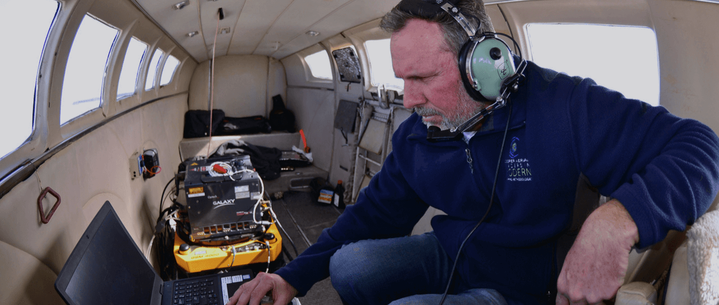
    Cooper Aerial Surveys uses a multi-sensor aerial system stabilized by a single SOMAG Gyro Stabilization Mount GSM 4000 to obtain the highly accurate lidar and aerial imagery data. The Mount helps to hold the sensors in place and compensates for movement as the aircraft moves down the flight line or crabs, ultimately resulting in crystal clear aerial imagery and even better quality data being captured for the entire mapping project.

    GSM 4000

    Advantages for Lidar and Imagery Products

    • Crystal clear aerial imagery

      through precise sensor stabilization during flights
    • Saving of time and money

      time spent on aerial triangulation can be reduced by 20%
    • Flexibility and compatibility

      GSM 4000 is adaptable to any sensor and camera system

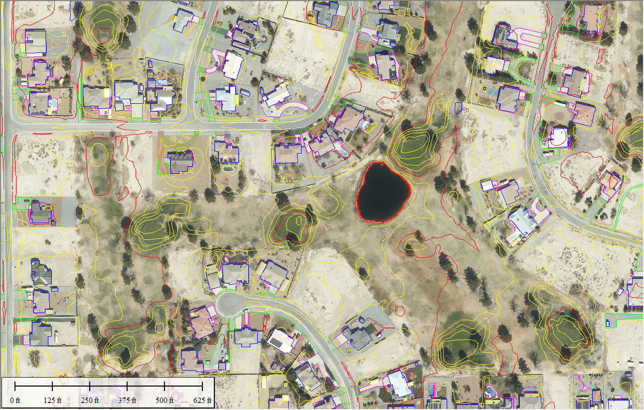
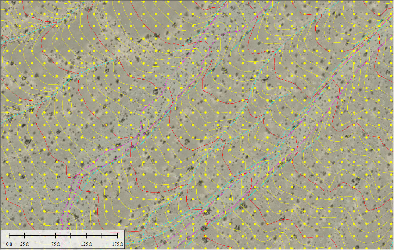
    To complete the project, Cooper Aerial collected 10cm GSD color imagery and 20 points per square meter LiDAR over the client-defined mapping limits. The project area covered roughly 171,000 acres (268 Sq Miles) of land. Aerial photography consisted of 31 flight lines with 2304 exposures, with a total of 523 mapping models.

    The mapping data was used to compile a 1″ = 40″ stereo map to create all planimetric features and 3D Digital Terrain Model (DTM) for 1′ contour generation. Contour data was derived from LiDAR data and included major breaklines and hydro flattening.

    By using the data collected by Cooper Aerial, Helm Engineering was able to create models to identify potential areas that were highly exposed to risks of flooding. Some of these hazardous areas contain high-end real estate communities worth several millions of dollars that need to be protected against these risks. Furthermore, this flood study allows the county to learn more about the impacts of a major flood event if preventative measures are not taken. Planimetric features included impervious surfaces (paved lots, roads, concrete), buildings, dirt roads, and drainage features. Cooper Aerial used the surface that was derived from the lidar data to create orthorectified photos, which were useful in the collection of planimetric features as well as quality control purposes.

    Improved efficiency

    Maximum quality at minimum cost and time

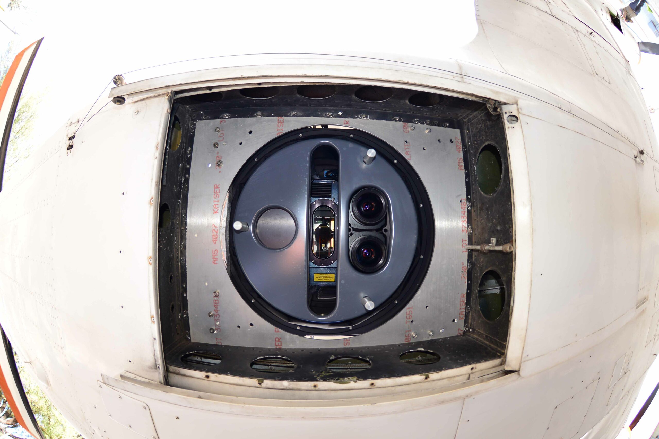
    Cooper Aerial is the largest firm in the Southwest, dedicated to providing leading edge aerial mapping solutions throughout the United States, Mexico, and Canada. To maximize time and cost efficiency without sacrificing the quality the customer expects, they use an integrated hybrid dual collection system consisting of a Teledyne Galaxy Prime Lidar and a Phase One 280 MP camera installed in a SOMAG Gyro Stabilizer GSM 4000 Mount.

    This system enables a single mobilization of the lidar and camera in a seamless mission with only one aircraft, making the most of weather windows and generating matching data sets. This approach significantly minimized the project cost by about half of the flight cost, roughly $76,000. Without such a system, meeting the project deadline would have required mobilizing more aircraft or extending turnaround time.

    Moreover, Cooper’s installation of the GSM 4000 provides it with clean data that is easier to process. This allowed the company to reduce the time required for aerial triangulation by 20%, which lowered the overall cost of the project for the customer.


    Why Customers

    Trust Somag

    “SOMAG is the leading provider of gyro stabilized mounting systems and provides high accuracy for large-format, LiDAR, and photogrammetry. As the market leader, SOMAG has the biggest market share in its industry and this is not random. SOMAG has a great pricing point and good customer service and therefore it was an easy choice for us to go with them. In addition to SOMAG’s quality product, we appreciate the fact that the GSM 4000 is adaptable to any sensor and camera in the marketplace which gives us more flexibility on how we can equip our aircraft.”

    Zachary Radel, Sr. Project Manager at Cooper Aerial Surveys Co.
    Video

    Watch the GSM 4000 in field

    About Cooper Aerial

    Cooper Aerial boasts a well-connected staff of photogrammetrists, imagery specialists, project managers, marketing, traditional survey experts, aerial imagery collection experts, and GIS specialists. The company provides professional photogrammetric mapping and imagery services for a variety of industries to governmental, engineering, and developmental organizations. Simultaneous data acquisition is used on customer projects in civil engineering, hydrology, energy, forestry and military sectors.

    About SOMAG

    SOMAG AG Jena is a global specialist for high-precision gimbal systems. The company focuses since 2004 on the development and manufacture of Gyro Stabilization Mounts for data acquisition and surveillance applications in the air, on land and at sea. The airborne product portfolio comprises three different Gyro Stabilization Mounts for large format, multiple medium format and single medium format sensors. All aerial camera stabilizers are designed for operation inside airplanes, helicopters or UAVs.

    Newsletter

    Subscribe today!

    Keep yourself informed about SOMAG and the latest Gyro Mount technology.
    We will send you regular information about:

    • exhibitions and event invitations
    • new products, services and videos
    • latest application examples, projects and partnerships
    Subscribe here

    Subscribe to the SOMAG newsletter
    Customer Success Story

    Simultaneous Lidar Data and Aerial Imagery Collection with GSM 4000

    95West Aerial Mapping revolutionizes simultaneous large-format imagery and high-density lidar collection with a dual GSM 4000 gimbal setup. The US-based company has been performing simultaneous collections for many years. When they decided to upgrade their current equipment, they opted for two SOMAG GSM 4000s as their preferred Gyro Stabilization Mounts for their state-of-the-art sensors. Simultaneous data collection allows the company to serve customers with maximum quality and efficiency.

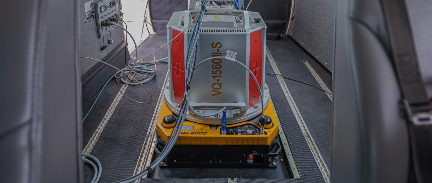
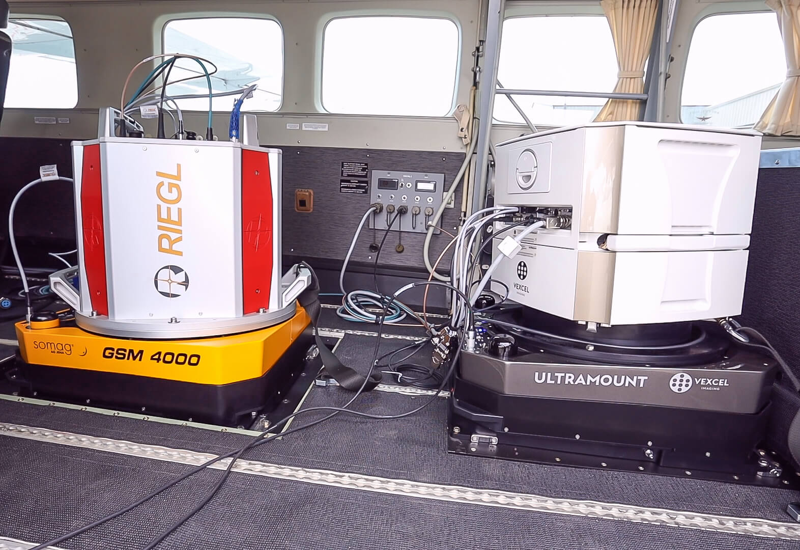
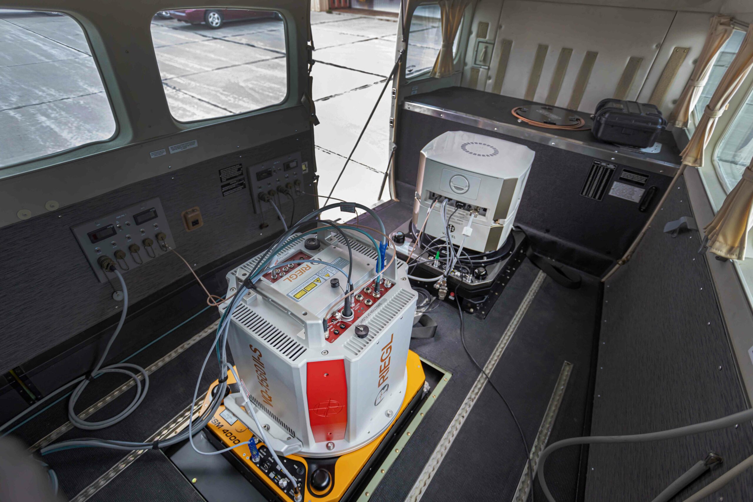
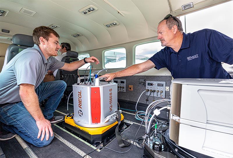
    The Gyro Stabilization Mount 4000 provides industry leading pitch, roll, and yaw stabilization for airborne cameras, scanners, LiDARs and other imaging sensors up to 120 kg during flight missions. Since September 2021, 95West has been operating the dual GSM 4000 Mounts in a Cessna Caravan to stabilize a Vexcel UltraCam Eagle M3 and a Riegl VQ-1560 II-S scanner. The Gyro Mount ensures high quality aerial images taken with the large format camera and a regular distribution of measurement points on the ground for the Lidar scanner, as well as a significant increase in efficiency when flying over large areas by reducing the required overlap of neighboring scan strips.

    Two SOMAG GSM 400 Gyro Mounts - left in SOMAG signature yellow, right in UltraMount design stabilizing a Riegl lidar scanner and an UltraCam aerial camera
    Two GSM 400 Gyro Mounts – left in SOMAG signature yellow, right in UltraMount design
    GSM 4000

    Advantages for Lidar and Imagery Products

    • Crystal clear aerial imagery

      through precise sensor stabilization during flights
    • Saving of time and money

      time spent on aerial triangulation can be reduced by 20%
    • Flexibility and compatibility

      GSM 4000 is adaptable to any sensor and camera system
    Why Customers

    Trust Somag

    “SOMAG is the leading provider of gyro stabilized mounting systems and provides high accuracy for large-format, LiDAR, and photogrammetry. As the market leader, SOMAG has the biggest market share in its industry and this is not random. SOMAG has a great pricing point and good customer service and therefore it was an easy choice for us to go with them. In addition to SOMAG’s quality product, we appreciate the fact that the GSM 4000 is adaptable to any sensor and camera in the marketplace which gives us more flexibility on how we can equip our aircraft.”

    Zachary Radel, Sr. Project Manager at Cooper Aerial Surveys Co.
    Improved efficiency

    Maximum quality at minimum cost and time

    Top view on two SOMAG gimbals with a Riegl lidar scanner and a Vexcel Imaging aerial camera system

    With small time windows for data acquisition due to weather, sun angle limitations, and seasonal changes, the number of flight hours per season is limited. By acquiring lidar and imagery data in the same flight, weather windows are maximized and mobilization and acquisition costs are halved.

    All advantages at a glance:

    • Coincident datasets reflect same features and water levels eliminating discrepancies
    • Single mobilization expense
    • More efficient acquisition 
    • Maximum utilization of weather windows
    • Larger image footprints and swath widths 
    • Increased detail and precision 
    • Data versatility 
    • Current terrain data for orthorectification 

    “We find that many of our clients prefer simultaneous collection. Even customers who would not normally use both lidar and imagery have chosen to acquire both systems because of the greater versatility and benefits.”
    – Andrew Werle, 95West Aerial Mapping

    Customers from diverse sectors benefit from the dual solution. Engineering and utility customers use the highly accurate terrain models for design while using the high-resolution imagery as a background raster for their drawings. Customers in the mining and commodities industries are able to monitor properties and calculate volumes in a single flight. For orthophotography customers, a much better product can be delivered because the most current surface data can be used for rectification.


    95West operating the dual GSM 4000 Gyro gimbals in a Cessna Caravan
    Video

    Watch the GSM 4000 in field

    The video shows the self test of the GSM 4000. It consists of a mechanical and an electronic test phase. The self test executes a routine, which checks all sensors, mechanics and electronics and saves the results in a text file. SOMAG can decrypt this text file and utilize it for trouble-shooting purposes. The test can be performed in the SOMAG Mount Control App. which is delivered together with each Gyro Mount on a USB stick.

    About SOMAG AG Jena:

    SOMAG AG Jena is a global specialist for high-precision gimbal systems. The company, consisting of hand-picked experts in the fields of electronics, mechanics and software, focuses since 2004 on the development and manufacture of Gyro Stabilization Mounts for data acquisition and surveillance applications in the air, on land and at sea.

    About 95West Aerial Mapping:

    95West Aerial Mapping is a wholly owned subsidiary of Widseth that provides aerial acquisition and geospatial services throughout the United States and Canada. 95West specializes in unique solutions utilizing cutting edge equipment to deliver services that are tailored to their clients’ needs with the latest technology in the aerial industry.

    Newsletter

    Subscribe today!

    Keep yourself informed about SOMAG and the latest Gyro Mount technology.
    We will send you regular information about:

    • exhibitions and event invitations
    • new products, services and videos
    • latest application examples, projects and partnerships
    Subscribe here

    Subscribe to the SOMAG newsletter